Quang Tri Geography
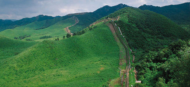
Located on North – Central Vietnam Quang Tri is surrounded by Quang Binh Province on the north, Thua Thien-Hue Province on the south, Savanakhet (Laos) on the west, East Sea on the east with 75km seaside. Topography consists of mountains, hills, plains, sand dune and seaside. The long coast and complex network of rives includes Ben Hai, Cam Lo, Quang Tri, Thach Han making a good condition for hydroelectricity and aquiculture. The weather condition is very severe with hot and dry south- west winds. Annual average temperature is 24ºC.
Quang Tri Tourism
Quang Tri preserves many remains from the anti- American resistance war such as the ancient citadel of Quang Tri, Khe Sanh Combat Base, Truong Son National Cemetery, Vinh Moc Tunnels, Hien Luong Bridge and Ben Hai River. Coming to there, tourists are able to take interesting holiday in Dakrong Beauty Spot and Cua Tung Beach. The beach has sparkling clean water, silky sand and soft breeze, the whisper made by the rows of casuarinas trees. It is very pleasant to go on boat down stream on the Ben Hai River and admire the beautiful landscapes.
Quang Tri Transportation
Dong Ha Town is 74km from Hue City, 80km from Lao Bao border crossing, 94km from Dong Hoi (Quang Binh Province), 190km from Da Nang, 617km from Hanoi, and 1,112km from Ho Chi Minh City . National highway No.1A runs through the province and National highway No.9, the Trans-Asia highway connects with the Lao Bao international border gate to Laos.


